Difference between revisions of "Sextant"
From Cantr II Wiki
| (2 intermediate revisions by 2 users not shown) | |||
| Line 25: | Line 25: | ||
The sextant is used as a navigation tool, most useful when sailing. It is operated using two functions. The first uses the ''reset'' selection to set its point of origin. Every time you do this it will reset the coordinates to 0, 0 at the current position. The other function is used to see the relative distance and direction of your current location to that of the point you have set to the origin. This will be displayed as: longitude X and latitude Y. The X-axis increases to the right (north on the map), and the Y-axis downwards (east on the map). | The sextant is used as a navigation tool, most useful when sailing. It is operated using two functions. The first uses the ''reset'' selection to set its point of origin. Every time you do this it will reset the coordinates to 0, 0 at the current position. The other function is used to see the relative distance and direction of your current location to that of the point you have set to the origin. This will be displayed as: longitude X and latitude Y. The X-axis increases to the right (north on the map), and the Y-axis downwards (east on the map). | ||
| − | |||
| − | |||
| − | |||
Latest revision as of 21:39, 22 April 2017
| Interwiki |
|---|
|
български • Deutsch • English • Español • Esperanto • Français • Italiano • Lietuvių • Lojban • Nederlands • Polska • Português • Русский • Suomi • Svenska • Türkçe • 中文 |
| |||||||||||||||||||||||||||||
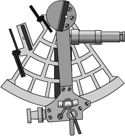
The sextant is used as a navigation tool, most useful when sailing. It is operated using two functions. The first uses the reset selection to set its point of origin. Every time you do this it will reset the coordinates to 0, 0 at the current position. The other function is used to see the relative distance and direction of your current location to that of the point you have set to the origin. This will be displayed as: longitude X and latitude Y. The X-axis increases to the right (north on the map), and the Y-axis downwards (east on the map).
